The UK could find itself in the deep freeze in January due to a change in wind patterns high up in the atmosphere – the same phenomenon that blew in the bitterly cold Beast from the East in 2018.
However, forecasters are warning it is too soon to tell where in Europe the cold weather will strike.
The “increased likelihood” of a freezing spell is due to a phenomenon called a ‘sudden stratospheric warming’ (SSW) that is forecast for early January, which can bring plunging cold temperatures a week or so later.
Professor Liz Bentley, chief executive of the Royal Meteorological Society, said: “When you get an SSW it increases the likelihood of a prolonged cold spell across Northern Europe, like the Beast from the East.”
But it is “hard to say” exactly where it will hit, she said. “It could impact the UK, it has the potential to, but I wouldn’t like to say it’s likely to.”
But the Met Office urged more caution. Spokesperson Stephen Dixon said: “It’s too early to tell if there will be a sudden stratospheric warming (SSW) event at the moment.
“Forecast models suggest a much weakened polar vortex over the coming weeks, but it’s not clear if this will result in an SSW or exactly how this will influence the UK’s weather patterns at this range.”
What is Sudden Stratospheric Warming?
An SSW happens when polar vortex winds in the stratosphere – the layer of atmosphere at 10-50km above Earth – slow, stop or reverse direction.
This leads to rapid warming in the stratosphere by up to 50C, but a few weeks later this also disrupts the jet stream, which affects our weather lower down.
As the jet stream starts to “wobble”, it allows cold air usually locked above the Arctic to seep further south in some areas of the Northern Hemisphere, said Prof Bentley.
Please use Chrome browser for a more accessible video player

0:42
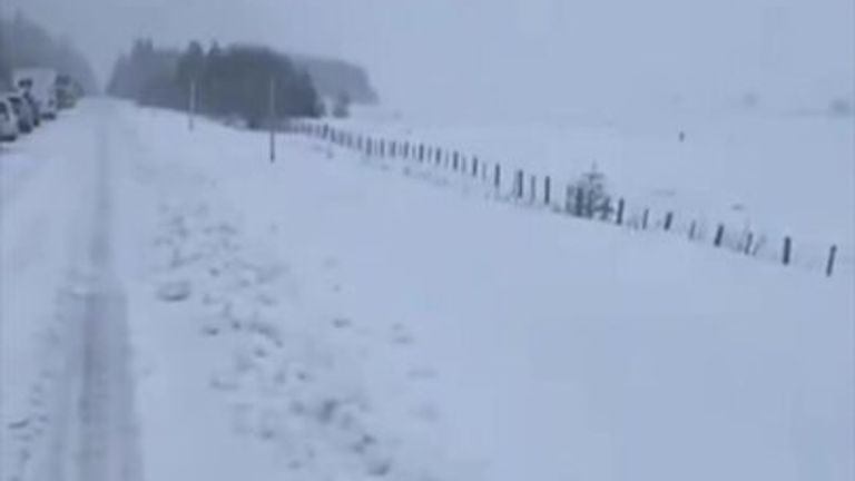
There are major disruptions on the A9 in Scotland due to heavy snow
How will it affect our weather?
“Now the crux of what we are looking for is where the waves [in the jet stream] will be,” added Prof Bentley.
“When we have an SSW it increases the likelihood of a cold spell across a large region like Europe or North America, but we wouldn’t get a feel for the actual position until four or five days out.
“Exactly where is hard to pinpoint. But there is an increased likelihood of very cold spells for certain regions.”
Professor Andrew Charlton-Perez, a meteorologist from the University of Reading, said SSWs are also associated with “weaker westerlies for Europe and even easterlies, in some cases.”
“Given westerly winds tend to give more mild weather in winter, that can bring much colder weather across Western Europe.”
He added: “We know Europe will be cold, but it is difficult to be precise where, this far out.”

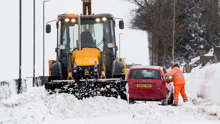
A car gets stuck in snow in Hayfield in Derbyshire during the “mini beast from the east” in 2018
When will it happen?
An SSW is on the cards for the next week, but it takes another week or so after that before the knock-on impact on the jet stream.
A cold spell is forecast for the second week of January, but it could kick in later, or last until February, said Prof Bentley.
The current Met Office forecast for mid-January projects an “increased chance of colder than average conditions during this period, and a reduced chance of prolonged periods of very unsettled / milder conditions with frequent rain and wind pushing in from the Atlantic.
“Currently the chance of widespread severe cold is still deemed low, but still the risk of impacts from cold, ice and snow is greater than normal.”
This content is provided by Spreaker, which may be using cookies and other technologies.
To show you this content, we need your permission to use cookies.
You can use the buttons below to amend your preferences to enable Spreaker cookies or to allow those cookies just once.
You can change your settings at any time via the Privacy Options.
Unfortunately we have been unable to verify if you have consented to Spreaker cookies.
To view this content you can use the button below to allow Spreaker cookies for this session only.
Will the UK see another ‘Beast from the East’?
An SSW doesn’t always bring cold conditions to the UK, because it depends on where the jet stream “wobbles”.
The Beast from the East in 2018 was caused by an SSW that allowed cold air to flow in to the UK from Siberia in the east.
But another SSW in 2019 “didn’t have a strong influence on Europe”, said Prof Charlton-Perez.
In any case, the UK is likely to see more settled weather than the recent wind and rain, said Prof Bentley.


