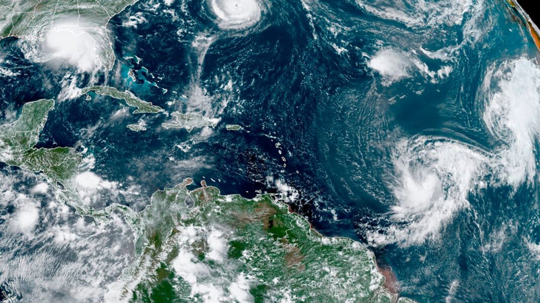
A La Nina cooling weather phenomenon is likely to kick in at the end of the year, say weather experts, but will do little to dent soaring global and ocean temperatures.
La Nina and El Nino are natural changes to temperatures in parts of the Pacific Ocean, and are the biggest fluctuations in the Earth’s climate system, with far-reaching impacts on people and extreme weather.
The United Nations’s World Meteorological Organization (WMO) said on Wednesday there is now a 60% chance the current neutral conditions will give way to La Nina between October and February next year.
It follows a prolonged streak of its opposite, the warming El Nino weather pattern, that fuelled 12 months of record-breaking heat before it waned in early summer.
But both are now layered over increased global heat due to climate change.
That means the cooler La Nina will not dent long term rising global temperatures, nor soaring ocean heat that has been alarming scientists.
WMO secretary general Celeste Saulo said: “Since June 2023, we have seen an extended streak of exceptional global land and sea surface temperature.
“Even if a short-term cooling La Nina event does emerge, it will not change the long-term trajectory of rising global temperatures due to heat-trapping greenhouse gases in the atmosphere.”
Please use Chrome browser for a more accessible video player
2:57
June: World breaks warming record
Professor Richard Allan, from Reading University, said: “La Nina will temporarily put the brakes on the surge in global ocean surface warming, yet rising greenhouse gases and cleaner air will continue to cause more heat to flood into the deeper ocean.”
La Nina is characterised by unusually cold ocean surface temperatures in the equatorial Pacific region, and brings cooler conditions on average.
Its impacts depend on when and for how long it strikes, but can include drought in the southern US, drought and flooding in different parts of South America, wet conditions in South Asia, and flooding in Canada.
It tends to suppress hurricanes in the central and eastern Pacific basins, but can cause a surge of hurricanes in the Atlantic basin.
Both La Nina and El Nino tend to last between nine and 12 months, but can be much longer, and they don’t necessarily alternate.
But 2024 could still be hottest year ever
But even with a possible cooling effect from La Nina, 2024 is still likely to be at least as hot as the record-breaking 2023, if not the hottest ever, scientists expect.
The European Union’s climate service Copernicus has said it is “pretty certain” that this year will end up hottest on record.
“In order for 2024 not to become the warmest on record, we need to see very significant landscape cooling for the remaining few months, which doesn’t look likely at this stage,” its director Carlo Buontempo said on Friday.
Professor Allan told Sky News it is “almost certain that 2024 will be about as hot on average globally as 2023, even if La Nina kicks in”.
But that will be hard to prove because of the margin of error in data readings, he added.

Keep up with all the latest news from the UK and around the world by following Sky News
How will La Nina affect UK weather?
Professor Allan said the UK is less likely to feel the impacts of La Nina on its weather than via economic shocks on the price of food and other resources.
He told Sky News: “UK weather will be minimally affected by La Nina, but we will mostly feel the economic effects of remote floods, droughts and heatwaves as wind patterns are shifted out of kilter, while the severity of these extremes are intensified by ongoing human caused climate change.”
Dr Christopher England, Sky News meteorologist, said: “We probably can’t expect much of an effect over the UK until next summer, but it’s likely to be cooler and wetter than average then.”
The greater risk of Atlantic tropical storms or hurricanes “may make for a windier later summer and autumn in particular next year”, he said, adding: “In fact, the summer we’ve just had is the sort of thing that’s more likely in an El Nina year.”


